Using NASA Technology to Detect Ocean Plastic
BY JANGIRA LEWIS | EARTH.ORG | SEP 10ST 2021 | 3 MINS
Using NASA Technology to Detect Ocean Plastic
In 2021, researchers demonstrated how NASA’s CYGNSS satellite data could help estimate ocean microplastic concentrations. The method compares sea-surface roughness with wind data and models. It detects an indirect signal, not individual particles, and complements sampling at sea.
—-
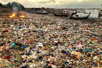
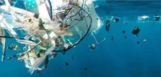
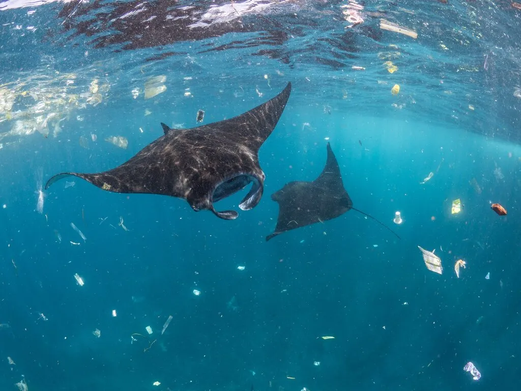
The CYGNSS mission launched in 2016; the microplastic application described here was reported in 2021. Microplastics, which are small fragments of plastic roughly the size of sesame seeds, are the most common type of debris floating in the world’s oceans. It affects how plants grow, permeate distant ecosystems and can even penetrate the air we breathe. It can have a devastating effect on marine wildlife – if ingested, it can block the gastrointestinal tracts of organisms, or trick them into thinking they don’t need to eat and leading to starvation. Organisms that can be affected by ocean plastic pollution can even be as small as zooplankton.
This new-found use of the technology will be a huge contribution to protecting marine life, research that hopes to alleviate the catastrophic effects of microplastics to the ecosystem, and be of aid to non-profit and private organisations in cleaning up the oceans.
How the satellite method works
Frederick Bartmen Collegiate Professor of Climate and Space Science, Chris Ruf, along with University of Michigan research assistant Madeline Evans, have developed a new way of using NASA’s Cyclone Global Navigation Satellite System, also known as CYGNSS, to detect the concentration of ocean plastic from space. With plastic debris accounting for an estimated 80% – 85% of marine litter, this ground-breaking research method can be fundamental in tracking and managing ocean plastic pollution.
CYGNSS is a network of eight microsatellites that are used to help scientists predict hurricanes by analysing the tropical wind speeds. Originally designed to monitor how winds roughen the water’s surface, CYGNSS can now also be used to detect the concentrations of microplastic by measuring the surface of the water. The smoother the surface of the water, the more likely it is to contain high concentrations of microplastic.
“By combining all the measurements made by CYGNSS satellites as they orbit around the world, we can create global time-lapse images of ocean microplastic concentrations,” stated Ruf. “Our images readily identify the Great Pacific Garbage Patch and secondary regions of high microplastic concentration in the North Atlantic and the southern oceans.”
The satellites have been particularly effective in tracking where the microplastic enters the ocean, how they are moving across it and where the areas they tend to collect are. As Ruff reported in his research paper published in June 2021, this new method of tracking microplastics has been able to identify trends in their data. For example, it was found that the concentration of microplastics tended to be seasonal. Concentrations were particularly high in the Northern Hemisphere during its summer months of June and July, whereas concentrations were particularly high in the Southern Hemisphere during its summer months of January and February. Furthermore, the research has also found that two major sources of microplastics were found coming from the mouths of China’s Qiantang and Yangtze rivers, which would empty microplastics into the East China Sea.
What the observations can and cannot show
Satellite observations provide repeated coverage, while water samples provide direct measurements needed to interpret and validate the estimates. Sampling is spatially limited, but that does not make it inherently unreliable. The 2021 method complements ship-based sampling; it does not replace it.
Non-profit organisations such as Clewat, a Finnish company that specialises in clean technology, will also be able to use the data to help ships collect, recycle and dispose of marine litter. Other organisations, such as The Ocean Cleanup, will also find this data useful as they will be able to effectively fulfil their mission of cleaning plastic from the oceans.
Although the satellites are able to detect microplastic concentrations, there are other variables that need to be taken into consideration. The ocean surface roughness monitored could contain other variants present with the microplastics, known as surfactants. Surfactants are liquid chemical compounds widely used in products such as detergents, and move through the ocean in ways similar to microplastics. Raf explained that “further study is needed to identify how the smooth areas that we identified occur, and if they are caused indirectly by surfactants, to better understand exactly how their transport mechanisms are related to those of microplastics.”.
Janice Brahney from the Department of Watershed Sciences at Utah State University published a paper in April 2021 researching the impact of microplastics and its causes. She established that “more work is needed on this pressing problem to understand how different environments might influence the process … wet climates versus dry ones, mountainous regions versus flatlands. The world hasn’t slowed its production or use of plastic, she said, so these questions become more pressing every passing year.”
Featured image by: Joerg Blessing
This article originally appeared on Earth.Org and is republished here as part of an editorial agreement.
Explore more:
- Discover our recycled materials
- Learn about our mission
- 🇩🇪 Lesen Sie diesen Artikel auf Deutsch
- 🇨🇳 阅读中文版
Questions and answers
Can these satellites see individual microplastic particles?
No. The CYGNSS method described here uses reflected radio signals to measure the roughness of the sea surface. Researchers combine this information with wind data and models to estimate microplastic concentrations. It is an indirect measurement, not a photograph of individual particles.
Link to this answerDo satellite estimates replace sampling at sea?
No. Satellites help reveal patterns across large areas, while samples collected at sea provide evidence of the particles present in the sampled water. The methods complement each other. Surface conditions can have several causes, so a satellite signal alone does not establish the amount or type of plastic at a particular location.
Link to this answerSources and further reading: NASA: Mapping Marine Microplastics, 03.12.2021 · Lindeque et al., Environmental Pollution, 2020 · NASA: Scientists Use NASA Satellite Data…, 25.06.2021